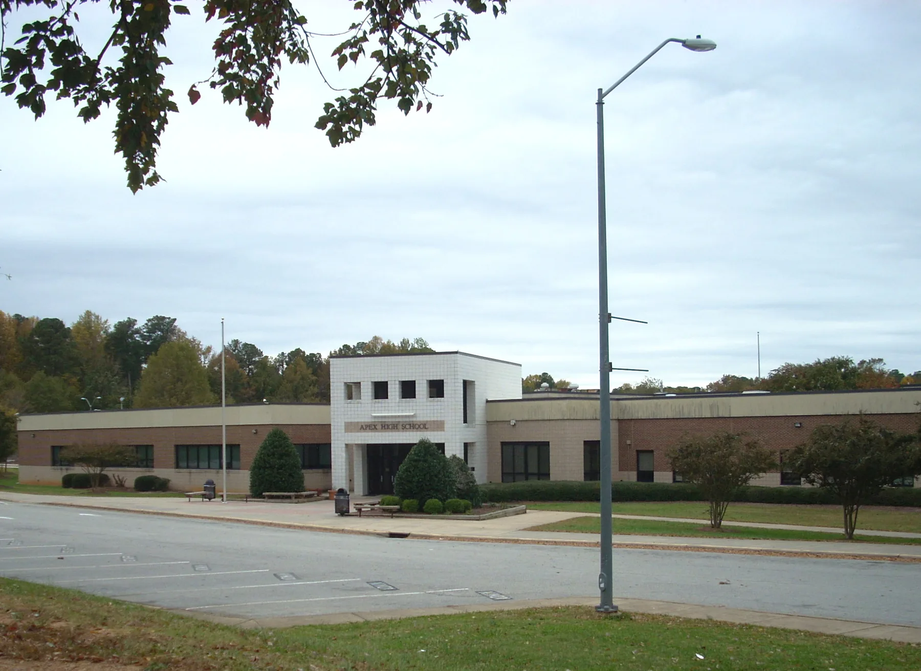
Claybourne is northeast Apex on Laura Duncan Road by Apex Community Park, mostly in ZIP code 27523, zoned for Laurel Park, Salem Middle and Apex High.
Last checked Oct. 11, 2026. Sources: OpenStreetMap place names and store listings, the Town of Apex’s parks pages, the Wake County Public School System’s base school lookup, the N.C. Department of Public Instruction’s 2025-26 accountability data, the U.S. Census Bureau’s geocoder and Zillow Research.
Claybourne is a place name OpenStreetMap puts in northeast Apex, along Laura Duncan Road between Apex High and Laurel Park Elementary and just west of Apex Community Park. It is mostly subdivisions. US 64 crosses Laura Duncan Road at an at-grade intersection at the area’s south end; NCDOT plans an interchange there, as our getting around guide explains. Most of the area is in ZIP code 27523, with its southern edge in 27502.
What this means for you
- Zoned high school: Apex High, 74.3% of state tests at grade level in 2025-26. Check an address with the district’s base school lookup.
- Home value: $732,797 in ZIP code 27523 in August 2026, according to the Zillow Home Value Index.
- Nearest freeway exit: US 1 Exit 96 at Ten Ten Road, about 2.8 miles by road.
Part of our Apex neighborhoods guide.
Where it is
This guide covers the streets on both sides of Laura Duncan Road from US 64 north toward Laurel Park Elementary, west of Apex Community Park and Lake Pine Drive. Downtown Apex is to the southwest and the Old Jenks Road area is to the west. Cary’s town limits begin just to the east.
Town or county? All five addresses we checked, on Boxwood Lane, Bay Bouquet Lane, Doverside Drive and Park Summit Boulevard, were inside the Town of Apex on the Census Bureau’s geocoder. The point OpenStreetMap uses for Claybourne itself fell just outside the town limits, so check a parcel in Wake County’s real estate search before you assume.
Schools
Claybourne is in the Wake County Public School System. All five addresses we checked in the district’s base school lookup for 2026-27 were zoned for Apex High. Four were zoned for Laurel Park Elementary and Salem Middle. One, on Boxwood Lane, was zoned for Apex Elementary and Apex Middle.
Scores are the share of state tests at grade level or above in 2025-26 and the state’s growth rating, from the accountability data.
| Level | School | At grade level | Growth |
|---|---|---|---|
| Elementary | Laurel Park Elementary, 2450 Laura Duncan Road | 81.2% | Met |
| Elementary | Apex Elementary, 700 Tingen Road | 71.7% | Not met |
| Middle | Salem Middle, 6150 Old Jenks Road | 78.6% | Exceeded |
| Middle | Apex Middle, 400 E. Moore St. | 70.5% | Met |
| High | Apex High, 1501 Laura Duncan Road | 74.3% | Met |
Apex High graduated more than 95% of students in four years. More in our schools guide.
Home values
Zillow publishes no figure for Claybourne. The Zillow Home Value Index is a modeled typical value for the middle third of homes, not a sale price.
| Area | August 2026 | August 2025 | Change |
|---|---|---|---|
| ZIP code 27523 | $732,797 | $748,899 | -2.2% |
| ZIP code 27502 | $563,043 | $573,522 | -1.8% |
| Town of Apex, for comparison | $592,991 | $603,410 | -1.7% |
ZIP code 27523 also covers much of north and west Apex, so its figure is not Claybourne’s alone. Trends are on our home prices page.
Parks and trails
Apex Community Park, 2200 Laura Duncan Road, with a lake trail entrance at 1808 Lake Pine Drive, is the town’s largest park: 160 acres around a lake of more than 50 acres, with more than 3 miles of trail, a fishing dock, a boat launch, tennis and pickleball courts and playgrounds. It is open 6:30 a.m. to 10 p.m. year-round. More in our parks and trails guide.
Getting around
- US 1: Exit 96 at Ten Ten Road is about 2.8 miles by road. US 1 and US 64 join east of the area, about 2.9 miles away, for trips toward Raleigh.
- Downtown Apex: about 2.2 miles by road.
- RDU International Airport: about 12 miles by road.
- Buses: the town’s GoApex Route 1 ride guide names no timepoint in Claybourne; the nearest stops are downtown.
Distances were measured with the OSRM routing engine on OpenStreetMap roads from the Claybourne place point. They are distances, not drive times.
Groceries and everyday stores
OpenStreetMap lists a Harris Teeter on Pine Plaza Drive, near Lake Pine Drive, and a Food Lion on Laura Duncan Road south of US 64.
Frequently asked questions
Where is Claybourne in Apex?
In northeast Apex, along Laura Duncan Road between Apex High and Laurel Park Elementary, just west of Apex Community Park. OpenStreetMap marks Claybourne as a named place there.
What schools serve Claybourne?
All five addresses we checked were zoned for Apex High. Four were zoned for Laurel Park Elementary and Salem Middle; one, on Boxwood Lane, for Apex Elementary and Apex Middle.
What is the typical home value in Claybourne?
Most of the area is in ZIP code 27523, where the Zillow Home Value Index was $732,797 in August 2026, down 2.2% from August 2025. Its southern edge is in 27502, at $563,043.
What park is near Claybourne?
Apex Community Park, the town’s largest at 160 acres, is next door at 2200 Laura Duncan Road, with a lake of more than 50 acres and more than 3 miles of trail.
Have your say