Downtown Apex is the town's oldest grid inside the Apex Peakway, in ZIP code 27502, zoned for Apex High and split between Baucom and Apex elementary.
Last checked Oct. 11, 2026. Sources: the Town of Apex’s Downtown Master Plan and parks pages, the Wake County Public School System’s base school lookup, the N.C. Department of Public Instruction’s 2025-26 accountability data, the U.S. Census Bureau’s geocoder, OpenStreetMap and Zillow Research.
Downtown Apex is the old railroad town at the center of Apex: Salem Street, the Union Depot and the grid of older houses and newer infill around them. The town’s Downtown Master Plan defines its study area as “the 2.5 square mile area generally bounded by the Apex Peakway, with an emphasis on the core blocks around Salem Street.” This guide uses the same boundary. Every downtown address we checked was inside the Town of Apex and in ZIP code 27502.
What this means for you
- Zoned high school: Apex High, 74.3% of state tests at grade level in 2025-26. Check an address with the district’s base school lookup.
- Home value: $563,043 in ZIP code 27502 in August 2026, according to the Zillow Home Value Index.
- Nearest freeway exit: US 1 Exit 95 at NC 55, about 1.6 miles by road from Salem Street.
Part of our Apex neighborhoods guide.
Where it is
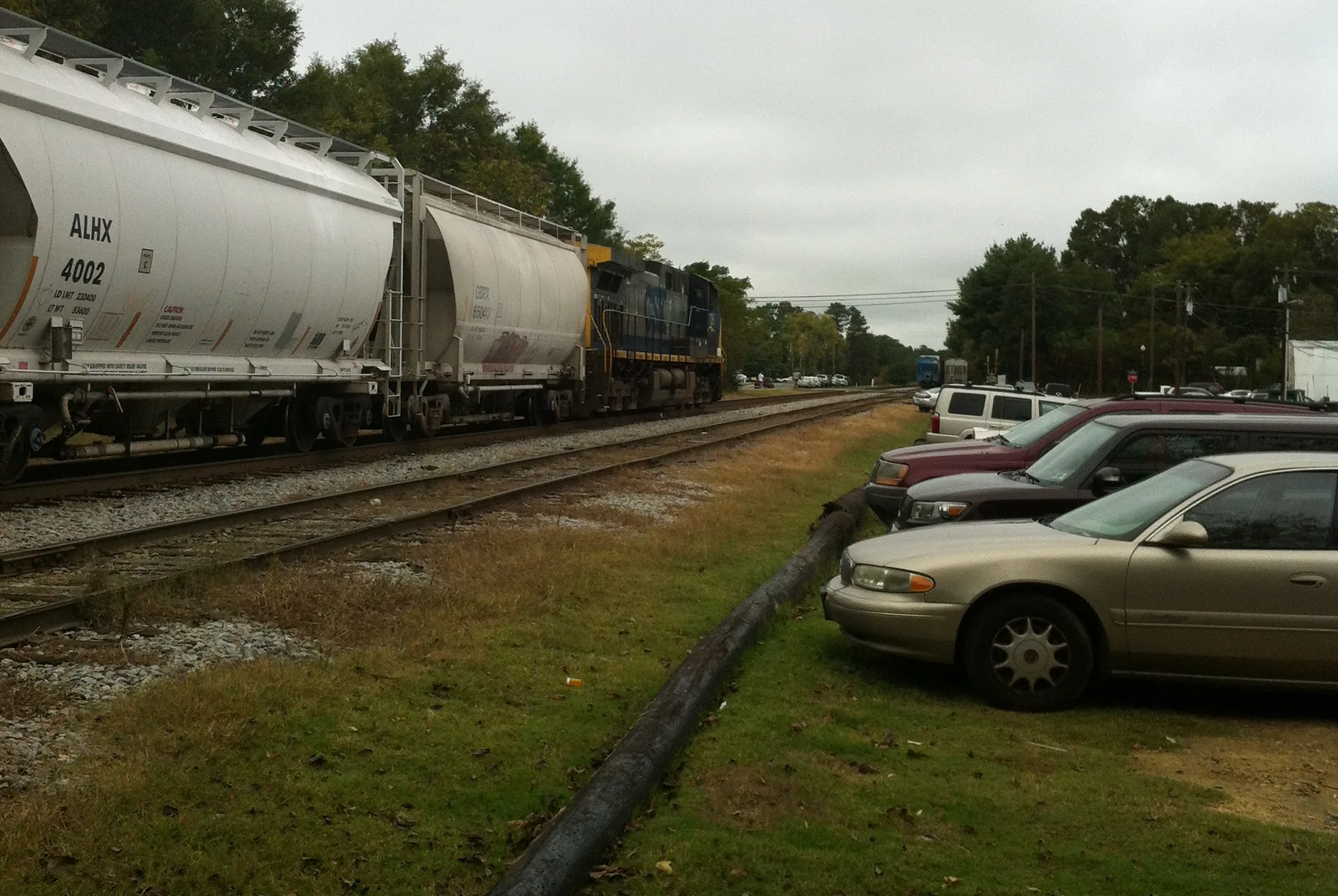
The Apex Peakway loops around the center of town; its last gap, a bridge over South Salem Street and the CSX tracks, is being finished this fall. Inside the loop are the Salem Street shops, the depot, the town offices at 73 Hunter St., and older streets such as Holleman, Chatham and Center. NC 55 (Williams Street) runs along the west side and Laura Duncan Road to the northeast. The Downtown Master Plan also names the Justice Heights neighborhood near South Salem Street and NC 55.
For shops, restaurants and parking, see our downtown Apex and Salem Street guide.
Schools
Downtown is in the Wake County Public School System. We checked eight addresses across the area in the district’s base school lookup for 2026-27. All eight were zoned for Apex High. Elementary zoning is split: three addresses north and west of the depot came back for Baucom Elementary, four on the south and east sides for Apex Elementary, and one at the north edge, on Overcliff Drive, for Salem Elementary and Salem Middle.
Scores are the share of state tests at grade level or above in 2025-26 and the state’s growth rating, from the N.C. Department of Public Instruction’s accountability data.
| Level | School | At grade level | Growth |
|---|---|---|---|
| Elementary | Baucom Elementary, 400 Hunter St. | 81.0% | Met |
| Elementary | Apex Elementary, 700 Tingen Road | 71.7% | Not met |
| Middle | Apex Middle, 400 E. Moore St. | 70.5% | Met |
| High | Apex High, 1501 Laura Duncan Road | 74.3% | Met |
Apex High’s four-year graduation rate was above 95%. More in our schools guide.
Home values
Zillow does not publish a figure for downtown alone. The Zillow Home Value Index is a modeled typical value for the middle third of homes, not a sale price.
| Area | August 2026 | August 2025 | Change |
|---|---|---|---|
| ZIP code 27502 | $563,043 | $573,522 | -1.8% |
| Town of Apex, for comparison | $592,991 | $603,410 | -1.7% |
Recorded sales are on our real estate transfers page, and trends on our home prices page.
Parks and trails
The town’s parks pages list these inside or next to downtown:
- Hunter Street Park, 1250 Ambergate Station: 12 acres with ball fields, a dog park, a playground and the Trackside Skate Plaza.
- Apex Jaycee Park, 451 NC 55 (West Williams Street): 24 acres with a youth cricket pitch and a trailhead for the Beaver Creek Greenway.
- West Street Park, 108 West St., and Clairmont Park, 801 E. Chatham St.: small parks with basketball courts and playgrounds.
- Sue Helton Park, 703 Matney Lane: a quarter-acre park with a gazebo.
More in our parks and trails guide.
Getting around
- US 1: Exit 95 at NC 55 is about 1.6 miles by road from Salem Street; Exit 96 at Ten Ten Road is about 1.9 miles.
- RDU International Airport: about 17 miles by road.
- Buses: the free GoApex Route 1 starts and ends at the Mason Street Municipal Building and stops at the Apex Park and Ride near East Williams and South Mason streets. GoCary Route 9 and GoTriangle Route 305 also serve downtown, according to the town’s regional routes page.
Distances were measured with the OSRM routing engine on OpenStreetMap roads. They are distances, not drive times. More in our getting around guide.
Groceries and everyday stores
OpenStreetMap lists a Food Lion on Laura Duncan Road, a Lidl at 670 Grand Central Station, a Harris Teeter at 750 W. Williams St., a Walgreens at 511 W. Williams St. and a Walmart Supercenter at 3151 Apex Peakway on the south side of the loop.
Frequently asked questions
What area counts as downtown Apex?
The town’s Downtown Master Plan studies a 2.5-square-mile area generally bounded by the Apex Peakway, with an emphasis on the core blocks around Salem Street.
What schools serve downtown Apex?
All eight addresses we checked were zoned for Apex High. Most were zoned for Apex Middle; elementary zoning is split between Baucom Elementary and Apex Elementary, with Salem schools at the north edge.
What is the typical home value in downtown Apex?
Zillow publishes no downtown figure. The Zillow Home Value Index for ZIP code 27502, which covers downtown, was $563,043 in August 2026, down 1.8% from August 2025.
Is downtown Apex on a bus route?
Yes. The free GoApex Route 1 starts at the Mason Street Municipal Building, and GoCary Route 9 and GoTriangle Route 305 also serve downtown, according to the town.
Have your say